Publication:
Schwieder, M.;
Wesemeyer, M.; Frantz, D.; Pfoch, K.; Erasmi, S.; Pickert, J.; Nendel, C.; Hostert, P. (2021):
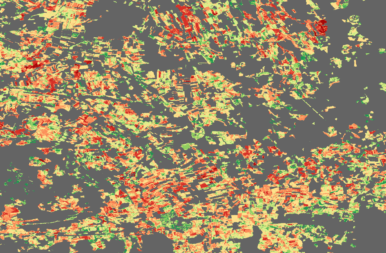
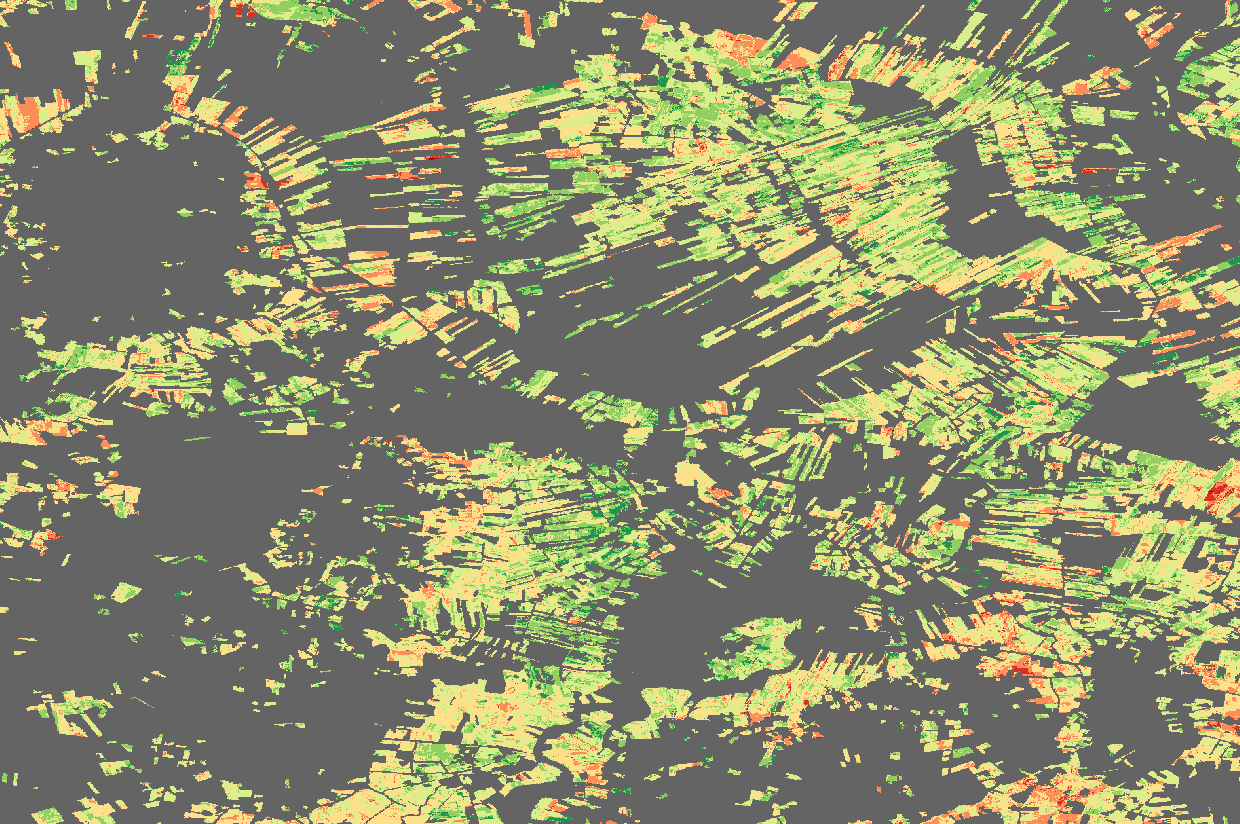
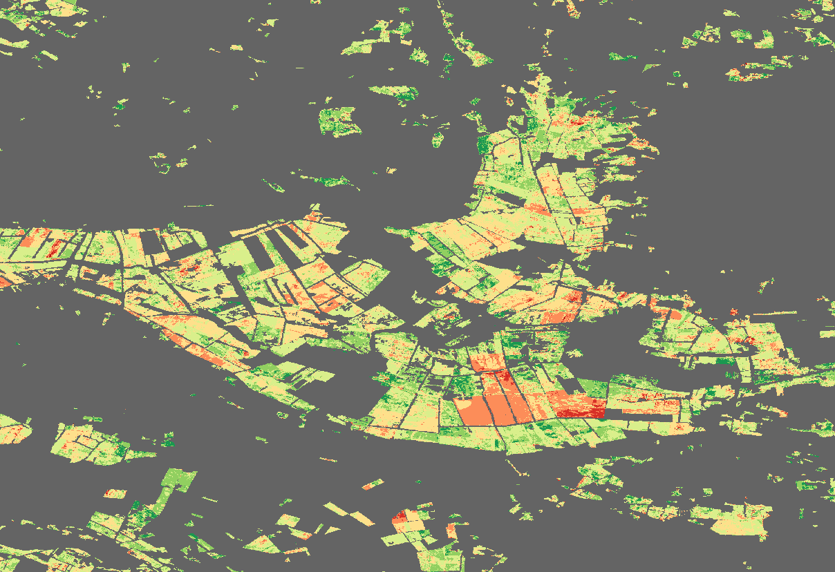
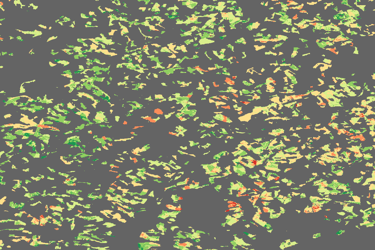
Mapping grassland mowing events across Germany based on combined Sentinel-2 and Landsat 8 time series, Remote Sensing of Environment, 2021.
Web:
Visualization concept Franz Schug // franz.schug [ at ] geo.hu-berlin.de Humboldt-Universität zu Berlin // Earth Observation Lab Thünen-Institut // Thünen-Fernerkundung (ThEO) Leibniz-Zentrum für Agrarlandschaftsforschung (ZALF) e.V. Last Update: 01 November 2021
Visualization concept Franz Schug // franz.schug [ at ] geo.hu-berlin.de Humboldt-Universität zu Berlin // Earth Observation Lab Thünen-Institut // Thünen-Fernerkundung (ThEO) Leibniz-Zentrum für Agrarlandschaftsforschung (ZALF) e.V. Last Update: 01 November 2021